
This month, the Office of Naval Research is sponsoring a team of government and industry scientists participating in the Robotic Experimentation and Prototyping using Maritime Un-crewed Systems (REPMUS-23) exercise off coastal Portugal.
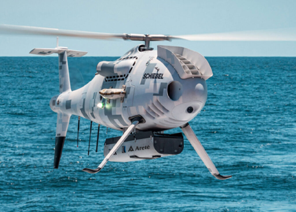
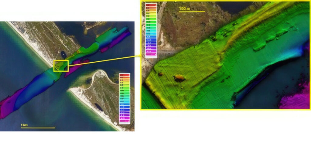
The team of commercial partners Areté, Fugro and Schiebel Corporation, along with the Naval Oceanographic Office and the Naval Research Laboratory, will fly a Light Detection and Ranging (LIDAR) sensor and a hyperspectral imager (HSI) on a remotely operated 10-foot long camcopter in order to provide beach characteristics and high resolution, near real-time maps of the seafloor in the near-shore area.
This is particularly significant in the surf zone where remote determination of the bottom topography has proven difficult to discern. Successful implementation of these techniques could greatly increase the ability to provide critical battlespace characteristic information to forces involved in expeditionary operations.
This demonstration of both capability and concept of operations takes place within the greater context of REPMUS, which is a two-week event involving the naval forces and technology sectors of 25 nations testing innovative concepts in maritime warfare fields.